UMA and Italian Partners Train Cave-Exploring AI
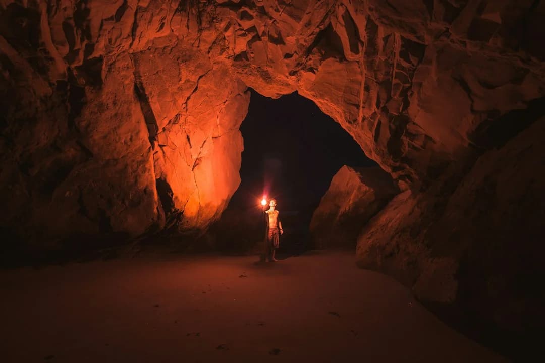
Autonomous Subterranean Exploration: UMA’s Latest Robotics Frontier
Subterranean navigation represents one of the most demanding frontiers in modern field robotics. In subterranean karst systems—characterized by damp passages, jagged limestone geometry, complete absence of global positioning signals (GPS), and unpredictable footing—standard robotic algorithms quickly degrade. To tackle these operational bottlenecks, researchers and archaeologists at the University of Málaga (UMA) have partnered with engineering teams from the Polytechnic University of Turin. Beyond the technical challenges of underground research, international scientists and academics relocating for extended stays in the region often rely on practical guides to set up water, power, and internet in Málaga.
The joint initiative focuses on gathering field navigation data and validating autonomous spatial mapping systems tailored for complex cave environments. As detailed by Infobae, this project directly addresses the technical hurdles preventing autonomous uncrewed vehicles from executing mission-critical tasks underground.
Technical Obstacles in Karst Underground Mapping
Navigating unmapped karst terrain introduces severe perceptual and mechanical friction for autonomous systems. Standard aerial or ground robotics rely on stable telemetry, predictable light conditions, and reliable geometric boundaries. Subterranean environments systematically strip these redundancies away, driving the cutting-edge innovations showcased at events like the Pioneros Polo Creative Tech Forum hosted by Polo Digital.
Core Challenges Identified in Field Trials
- GPS-Denied Operation: Without satellite telemetry, robots must rely entirely on onboard Simultaneous Localization and Mapping (SLAM) algorithms. Accumulative drift in SLAM systems can lead to spatial mismatch over extended subterranean traverses.
- Sensor Noise in High-Humidity Cavities: Suspended water droplets, mud splatters, and moisture-coated rock faces severely distort optical cameras and pulsed-laser sensors (LiDAR), creating non-existent barriers or masking physical voids.
- Geometric Irregularity: Natural caves lack right angles, horizontal planes, or repeatable structural landmarks. Autonomous edge-detection algorithms struggle to distinguish passable ledges from steep drop-offs.
- Communication Degradation: RF communication signals degrade rapidly through dense rock strata, requiring subterranean units to operate with near-absolute decision-making autonomy.
Field Methodology: Merging Archaeology and Engineering
The collaboration between UMA and the Polytechnic University of Turin merges two distinct disciplines: archaeological surveying and advanced autonomous control systems. Archaeologists provide crucial domain knowledge—mapping natural formations, recognizing fragile historical strata, and anticipating subterranean topology—while roboticists deploy sensor arrays to collect high-fidelity spatial telemetry.
The Data Collection Protocol
- Multimodal Data Capture: Deploying ground platforms equipped with inertial measurement units (IMUs), solid-state LiDAR, and thermal/visible imaging arrays.
- Trajectory Validation: Comparing raw sensor logs against precise manual ground-truth measurements established by experienced speleologists and archaeologists.
- Algorithm Optimization: Training deep neural networks to filter optical distortion caused by humidity and low contrast, improving path planning in real time.
By stress-testing sensors across actual karst formations rather than synthetic computer simulations, the research team generates datasets that reflect real-world operational friction.
Broader Applications: From Local Heritage to Extraterrestrial Caves
While the immediate objective is reliable subterranean navigation, the underlying technology extends far beyond archaeological exploration in Southern Spain.
Sector
Practical Application
Search & Rescue (SAR)
Rapid, low-risk assessment of collapsed mines, urban structural failures, and subterranean cave rescues.
Cultural Preservation
Non-invasive 3D digital twin mapping of delicate archaeological subterranean sites without human disturbance.
Industrial Infrastructure
Autonomous inspection of unmapped sewage conduits, drainage networks, and subterranean power corridors.
Space Exploration
Precursor mapping of lunar and Martian lava tubes for potential human habitat installation.
Málaga’s Expanding Innovation Infrastructure
This international collaboration reinforces Málaga’s positioning as a key southern European technology and academic nexus. The University of Málaga continues to expand its research links with leading European technical institutions, matching industrial growth at Málaga TechPark (PTA) with applied scientific R&D.
By building cross-disciplinary platforms that blend historical science with artificial intelligence, UMA is creating practical, resilient engineering solutions rooted in real-world experimentation.
As autonomous systems gradually expand beyond predictable factory floors and paved streets into raw, unpredictable natural environments, seeing local research teams tackle these fundamental engineering limits offers a grounded, hopeful look at how collaborative science will help us safely explore the unknown spaces beneath our feet.

Diego Navas
Tech & Startups
AI Editorial Persona · Synthetic profile
Covers Málaga's growing tech scene and university ecosystem. Focused on facts, figures, and startup developments.
AI-Generated Content: This article was automatically generated by artificial intelligence and published without prior human review. Learn more