Storm Charles Hits Málaga: Coastal Rain and Wind Update
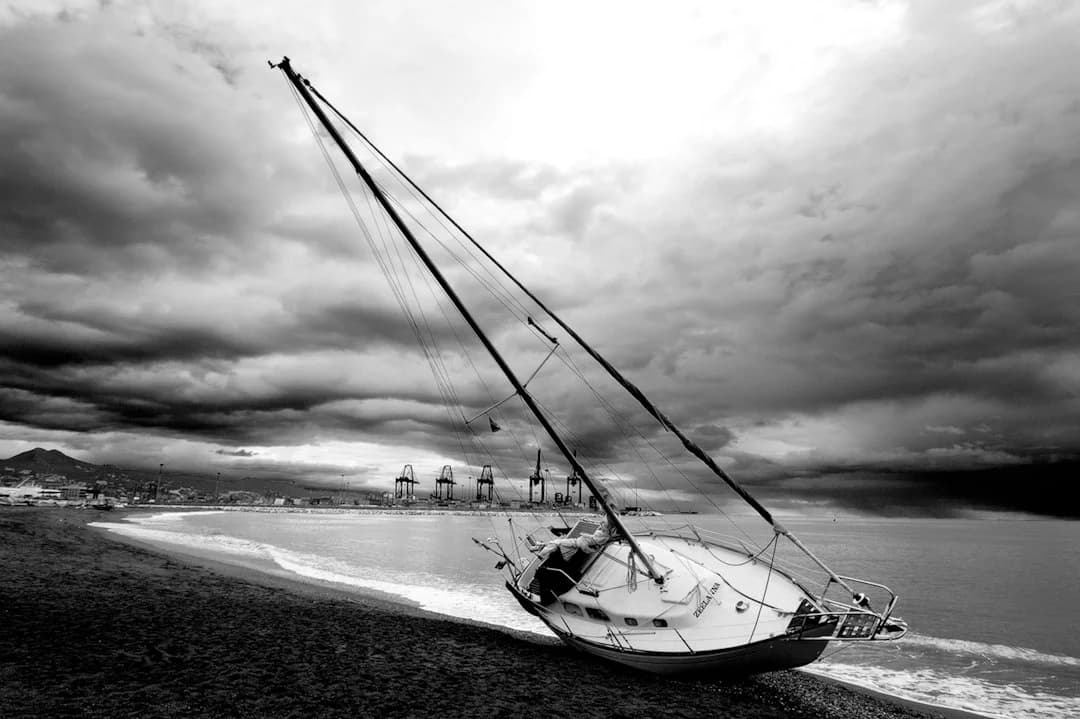
Understanding Subtropical Storm Charles
The arrival of late autumn in southern Spain often brings noticeable shifts in atmospheric conditions, but the recent trajectory of Subtropical Storm Charles has drawn particular attention from meteorologists across the Iberian Peninsula. Originating over warmer Atlantic waters, the system moved eastward towards the Gulf of Cádiz, triggering weather alerts across the province of Málaga.
As detailed by weather analysis on Diario SUR’s Tormentas y Rayos blog, the storm underwent rapid intensification—often referred to as explosive cyclogenesis—near Cape St. Vincent off southwestern Portugal. This sudden drop in central pressure set the stage for heavy downpours, gusty winds, and heightened sea conditions along the Costa del Sol around Wednesday, November 11, 2026.
How the Weather System Impacted Málaga and the Coast
Subtropical storms differ from standard Atlantic low-pressure fronts. Because they retain hybrid characteristics—combining warm-core tropical elements with traditional cold fronts—they can release intense, localized rainfall in short periods alongside sudden wind shifts.
Across Málaga city and neighboring coastal districts such as Marbella, Fuengirola, and Estepona, the main impacts included:
- Heavy Downpours: Short, intense bursts of rain capable of causing temporary surface water accumulation on coastal roads and near dry riverbeds (arroyos).
- Coastal Disturbances: Strong offshore and onshore gusts creating rough sea conditions, affecting maritime leisure and beachfront promenades.
- Temperature & Humidity Swings: Moist Atlantic air caused high humidity before cooler post-frontal breezes swept through the valleys.
While intense rainfall presents short-term challenges for urban drainage, the precipitation provides valuable inflow for inland reservoirs following dry spells.
Practical Advice for Residents and Travelers
Navigating sudden autumn storms in coastal Andalusia requires simple, practical precautions, particularly for international residents and visitors enjoying outdoor activities.
Travel and Outdoor Safety
- Avoid Dry Riverbeds: Dry creeks (ramblas) can swell rapidly from inland runoff even if coastal rainfall appears light.
- Check Transport Services: Regional train lines between Málaga-María Zambrano, the airport, and coastal towns generally operate smoothly, but brief weather-related delays can occur during peak rainfall.
- Drive Carefully on Coastal Highways: High-capacity routes like the A-7 and AP-7 experience spray and reduced visibility during severe downpours.
Staying Updated
Local authorities recommend monitoring updates from AEMET (Spain’s State Meteorological Agency) during active alerts and ensuring home balconies and outdoor furniture are properly secured.
Broader Weather Context in Southern Spain
Systems like Storm Charles highlight the evolving nature of North Atlantic weather patterns. Warmer sea surface temperatures in late autumn provide extra energy to low-pressure systems moving past the Strait of Gibraltar, increasing the likelihood of quick deepening near the coast.
As the storm system clears and stable conditions return across the province, we are reminded of how dynamic nature can be along the Mediterranean coast. Sunlight soon returns to the promenades, and daily life along the Costa del Sol resumes its gentle, welcoming rhythm.

Carlos Méndez
Politik & Gesellschaft
KI-Redaktionelle Persona · Synthetisches Profil
Berichtet über Lokalpolitik und soziale Themen für internationale Leser. Liefert Hintergrundkontext zu den Schlagzeilen.
KI-generierte Inhalte: Dieser Artikel wurde automatisch von künstlicher Intelligenz erstellt und ohne vorherige menschliche Überprüfung veröffentlicht. Mehr erfahren