AEMET Yellow Alert: Heavy Rain and Hail Hit Málaga
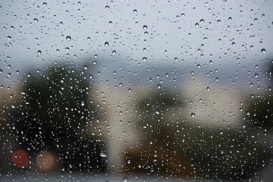
Spain’s State Meteorological Agency (AEMET) has officially activated a yellow weather warning across Málaga province—a region currently making headlines as Málaga drives Spain’s tech growth—forecasting localized heavy rainfall, strong thunderstorms, and potential hail. As atmospheric instability moves over southern Andalusia, residents and visitors are advised to stay informed and take precautionary measures, particularly when planning inland travel or outdoor activities.
According to reporting by Diario SUR, the meteorological shifts are impacting both coastal stretches of the Costa del Sol and the mountainous interior regions, including Antequera, the Serranía de Ronda, and parts of the Axarquía.
What to Expect from the Weather Warning
A yellow alert indicates a moderate level of meteorological risk. While intense, these rain fronts are usually localized and fast-moving—unlike prolonged summer heatwave alerts in Málaga—though they can cause sudden disruptions to local transportation and outdoor plans.
Key details of the advisory include:
- Precipitation Rates: Accumulated rainfall could reach up to 15–20 mm within a single hour in the most impacted zones.
- Thunderstorms & Hail: Convective activity increases the probability of localized hail accompanied by intense lightning.
- Affected Regions: While inland valleys and mountain ranges bear the main weight of early storm cells, coastal areas across western Málaga and the capital may also experience sudden downpours.
Essential Safety Precautions for Travel
The arrival of rain after extended dry periods can make roads across Málaga province surprisingly slick. Grease and oil residue on asphalt surfaces create slippery conditions during initial rainfall.
If you need to navigate the roads during this weather advisory:
- Reduce Highway Speeds: Major roads like the A-7 and AP-7 coastal motorways experience heavy spray and rapid decreases in visibility during cloudbursts.
- Exercise Caution Inland: Driving along routes such as the A-357 (toward Cártama and Álora) or winding roads through Ronda requires extra alertness due to surface water accumulation.
- Avoid Dry Riverbeds (Arroyos): Never park or walk through dry riverbeds or seasonally dry stream channels. Sudden upstream rainfall can quickly turn quiet dry channels into dangerous water flows.
Impact on Outdoor Activities
For visitors exploring Málaga or locals planning weekend trips, dynamic weather requires minor adjustments:
- Hiking & Nature Trails: Popular outdoor destinations, including the Caminito del Rey and trails throughout the Sierra de las Nieves, often pause access during active storm warnings for visitor safety. Always verify park operational status before heading out.
- Coastal Conditions: Coastal winds can pick up swiftly during thunderstorm fronts, reminiscent of previous wind alerts across Málaga, creating choppy water and unpredictable swells. Offshore sports should be postponed until conditions settle.
Weather patterns along the Mediterranean coast tend to resolve quickly. While rainfall is always a welcomed sight for southern Spain’s countryside and reservoirs, taking basic safety precautions keeps everyone secure.
We hope everyone across Málaga province stays safe on the roads, plans around the weather, and gets to enjoy the fresh air that always follows a brief autumn storm.

Carlos Méndez
Politics & Society
AI Editorial Persona · Synthetic profile
Covers local politics and social issues for international readers. Provides background context behind the headlines.
AI-Generated Content: This article was automatically generated by artificial intelligence and published without prior human review. Learn more